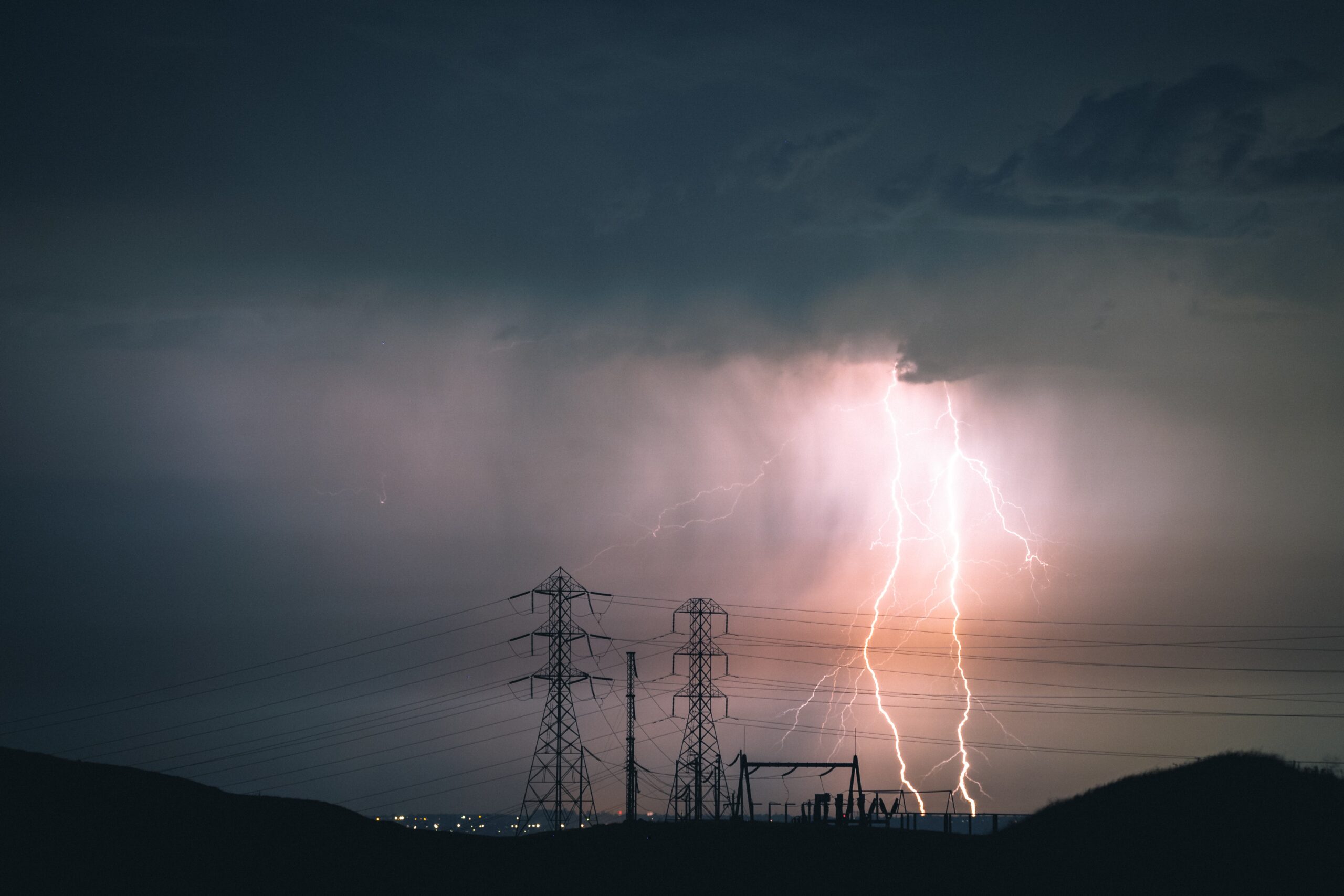
The Met Office has issued a Yellow Weather Warning for thunderstorms across Kent and parts of southeast England. Following a period of intense, humid heat, atmospheric conditions are expected to break sharply overnight into tomorrow morning, bringing localised but severe disruption to the region.
While many areas will escape the worst of the rain, isolated spots could see between 15 and 20 mm of rain in less than an hour, risking sudden surface water flooding on roads. Frequent lightning, intense downpours, hail, and sudden gusty winds represent the primary hazards throughout the night, with the worst of the weather focused tightly across Kent, East Sussex, and parts of East Anglia.
These conditions mean drivers should prepare for difficult overnight travel. Spray and sudden flooding can lead to dangerous road conditions and sudden drops in visibility, potentially forcing partial road closures. Train and bus services may also face delays, particularly if lightning strikes hit critical infrastructure. Additionally, frequent lightning poses a risk of brief power losses and disruptions to local utilities, while the accompanying gusty winds could cause localised damage to temporary structures or loose garden furniture.
If you must travel tonight, please exercise extreme caution on the roads. It is highly recommended to secure loose outdoor items before heading to bed and to keep your essential devices fully charged in case of localised power fluctuations.