

Library image: Dziana Hasanbekava Pexels
Kent is set to swap its winter chill for a soggy, blustery battering as the Met Office issues a yellow weather warning for rain and potential snow, effective from the morning of Wednesday 18 February through to Thursday morning, 19 February.
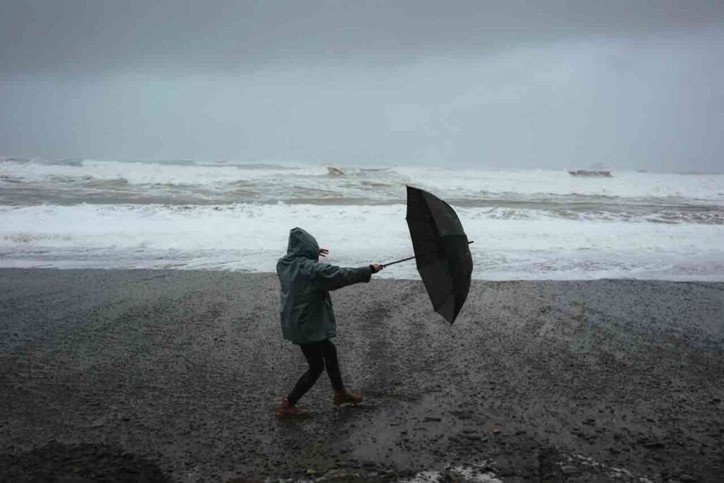
Forecasters are warning of a significant low-pressure system moving across the south, bringing with it a cocktail of heavy rain, gale-force winds, and even a dusting of the “white stuff” on higher ground. While the Garden of England is no stranger to a bit of drizzle, the intensity of this mid-week system is expected to cause travel headaches and localized flooding.
The Forecast: Rain, Wind, and a Hint of Snow
Most of Kent can expect between 10–20 mm of rain, but if you’re closer to the coast, you might want to double-check your gutters—areas along the south coast could see up to 30 mm.
It’s not just about the rain, though. Strong east to northeasterly winds will whip up the English Channel, potentially sending large waves crashing into east-facing coasts. For those living on higher ground like the North Downs, Wednesday night brings a genuine chance of snow as temperatures dip during the heaviest precipitation.
What Should I Do?
If you’re planning to head out, or even if you’re staying tucked in, here is how to stay ahead of the weather:
- Protect Your Property: Check if your home is at risk of flooding. If you’re in a low-lying area, it’s worth prepping a simple flood plan and an emergency kit (think essential documents and basic supplies).
- Check Before You Trek: Whether you’re driving the M20 or catching a Southeastern train, expect delays. Check road conditions and public transport timetables before you leave. If the journey isn’t essential, consider rescheduling.
- Power Up: High winds and heavy rain can occasionally knock out local power lines. Make sure your torches have fresh batteries and your mobile power packs are fully charged.